
History of Surveying and
Measurement
|
A baseline is a particular line on the ground, usually several miles (km) long, that has been measured with the utmost accuracy with the equipment available at the time. A list of these together with some of the features of each is being compiled by J R Smith, but with at least several hundred such lines there is some way to go. Such lines are generally related to the use of triangulation. Over the last 350 years a wide variety of equipment has been used for such measures ranging from wooden bars to glass rods, long wires and electromagnetic methods. Every triangulation scheme requires at least one baseline to introduce scale into the results. Examples: Hounslow Heath 1785 See A History of the Ordnance Survey. Ed. W A Seymour. 1980. Dawson. ISBN 0-7129-0979-6 Calcutta 1832 Historical Records of the Survey of India. Vol. IV 1830-1843. R H Phillimore. 1958. Lough Foyle 1828 An Account of the Measurement of the Lough Foyle Base in Ireland with its verification and extension by triangulation. W Yolland. 1847.

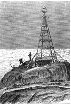
From 7th Report Adirondack Survey. 1880. Courtesy W. G. Robillard.